Alabama River Fishing Spot
- Public Fishing: Yes
- Elevation: 124'
- Website: http://www.outdooralabama.com/fishing/freshwater/where/rivers/a/
- Last Modified By: vinny60 on 09/10/09 11:16 PM
- Ask about Alabama River in our Fishing Forums
Photos
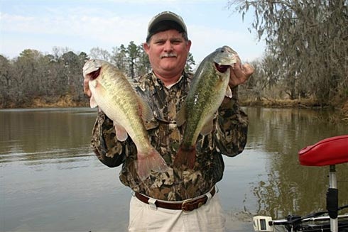
Fish Species
Alabama River Description
The Alabama River is formed by the confluence of the Coosa and Tallapoosa Rivers just 15 miles north of Montgomery. The mighty river begins at the Fall Line, an imaginary line demarcating the area of Alabama's ancient coastline. Whereas the lower portions of Alabama's major tributaries, the Coosa and Tallapoosa fell rapidly over dramatic falls and shoals, the Alabama basin lies almost entirely within the rather flat topography of the coastal plain. After the Alabama is formed it flows approximately 15 miles before reaching the city of Montgomery. After it birth the river meanders in a generally westerly direction for 100 miles to Selma and then Southwesterly 210 miles before it joins the Tombigbee River. These two large basins, the Alabama and Tombigbee merge to form the Mobile River near the city of Calvert and then flow into Mobile Bay and the Gulf of Mexico. The Alabama River watershed (excluding its largest tributaries the Coosa, Tallapoosa and Cahaba) comprises an area of 6,023 square miles. Fishing is probably the most popular activity on Alabama River Lakes. The 244 river miles and more than 30 creeks provide plenty of good fishing spots for the thousands of anglers who fish here regularly. The Alabama River Lakes have an abundance of bass, catfish, crappie, and bream. Bank fishing is excellent at many locations, including public fishing decks at the Dam Sites' of Woodruff and Claiborne Lakes, and Dannelly Reservoir.
The Alabama River, in the U.S. state of Alabama, is formed by the Tallapoosa and Coosa rivers, which unite about six miles above Montgomery.